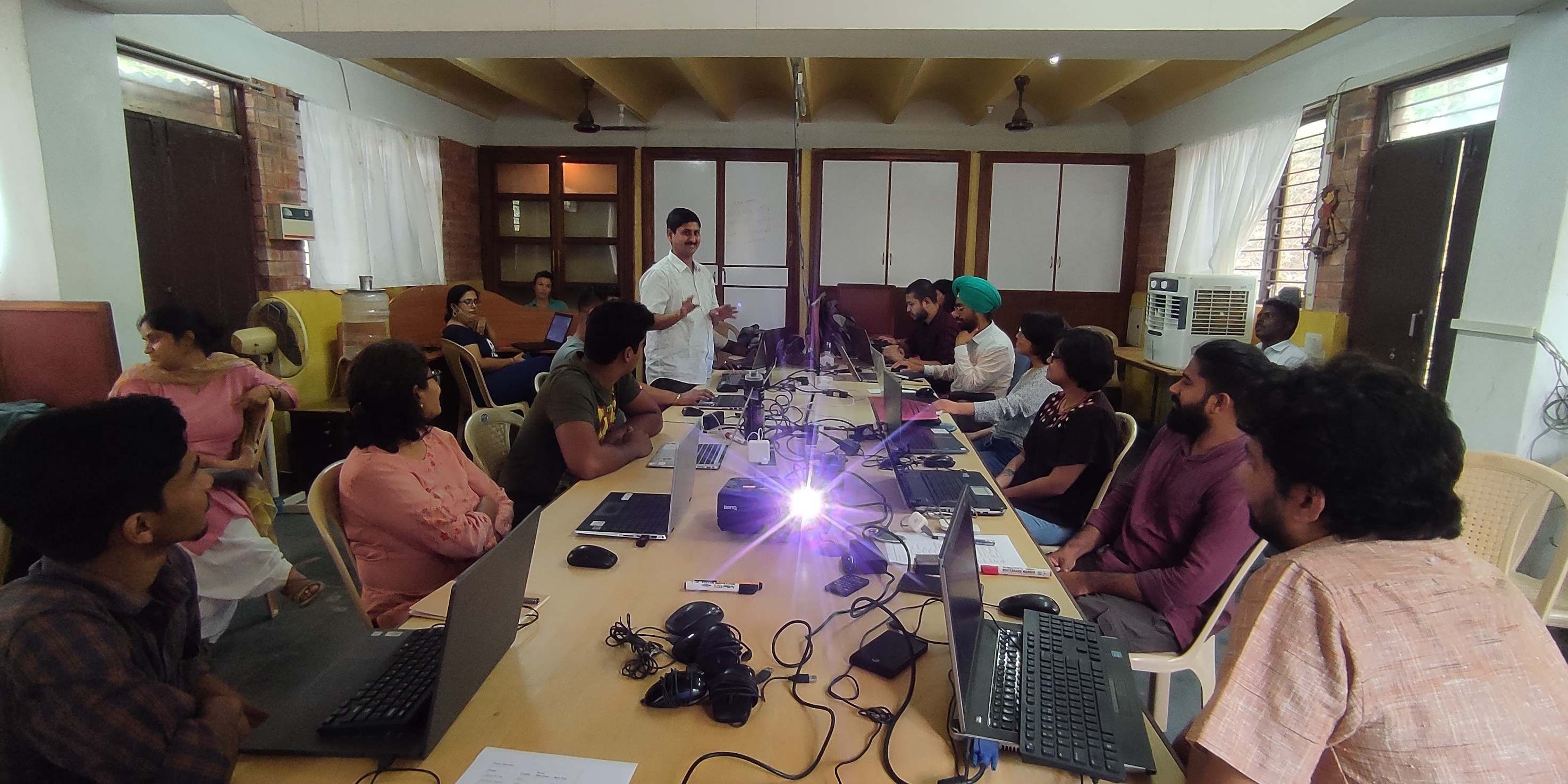
In recent times, the use of GIS and Remote Sensing have become essential tools for researchers working in the field of conservation and management of natural resources. However, the fundamental concepts of GIS are not available outside of a formal academic institution. The focus of this three-days workshop was to fill this gap, through intensive and hands-on training. By the end of this three-day workshop, participants learnt about the basics of spatial data collection and management, data visualisation,
performing spatial analysis, processing satellite images, and most importantly, presenting these results as graphs and maps of publication quality. The workshop also provided a common platform for the Rufford grantees from different parts of India to meet at one place and share and learn from each other’s conservation experiences.
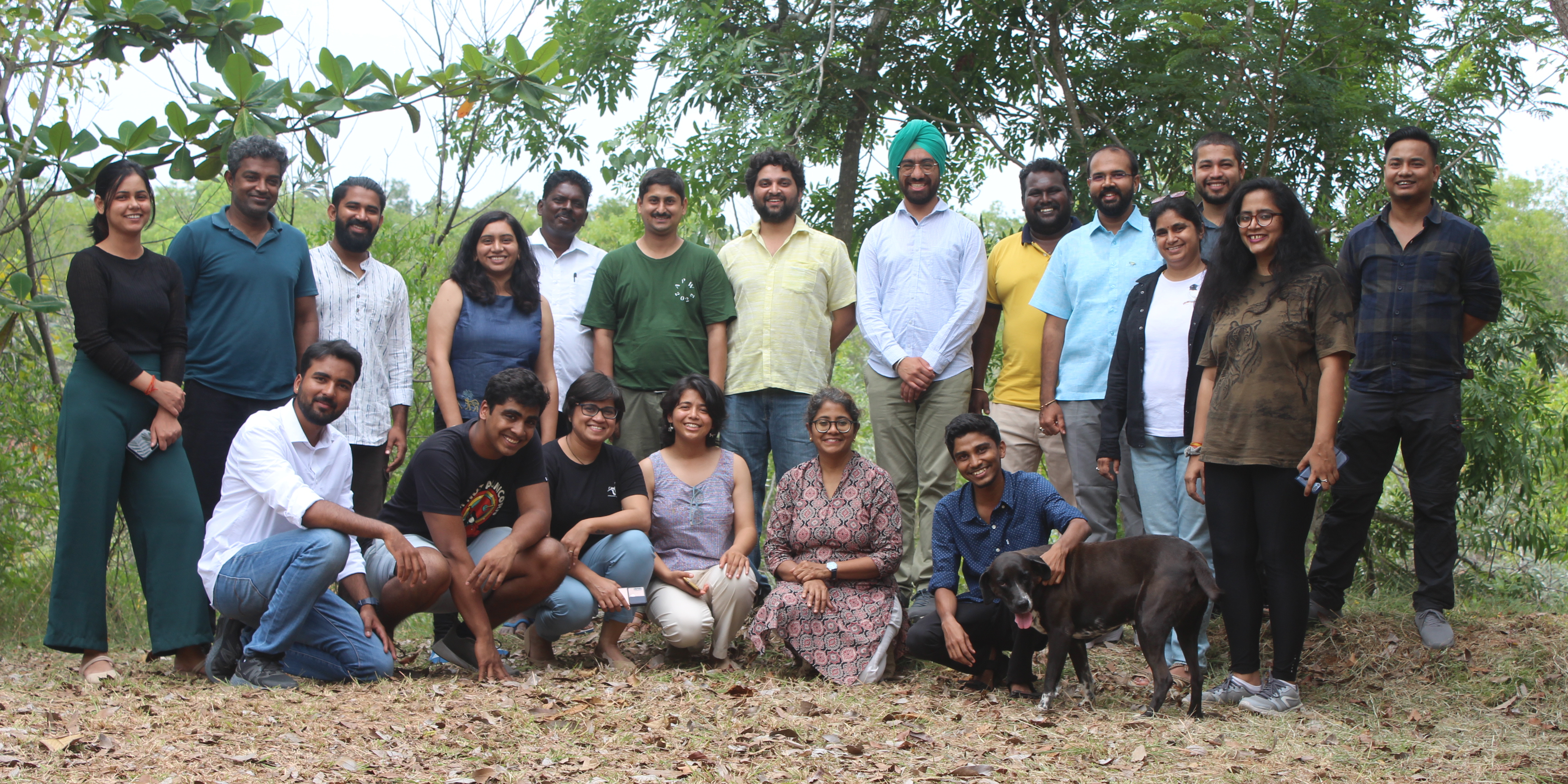
This workshop was attended by a total of 22 researchers working in different parts of India. Out of this, 13 participants were Rufford grantees.
This workshop was intended to familiarize our participants with basic concepts of GIS, type of data, and visualising and analysing the data that was collected in field. We used QGIS as the GIS platform for this workshop. QGIS is an open-source GIS software, which is rapidly evolving, user friendly and provides various tools to visualise and process vector as well as raster data.