Error message
- Deprecated function: array_key_exists(): Using array_key_exists() on objects is deprecated. Use isset() or property_exists() instead in Drupal\Core\Controller\ControllerResolver->doGetArguments() (line 139 of core/lib/Drupal/Core/Controller/ControllerResolver.php).
- Deprecated function: array_key_exists(): Using array_key_exists() on objects is deprecated. Use isset() or property_exists() instead in Drupal\Core\Controller\ControllerResolver->doGetArguments() (line 139 of core/lib/Drupal/Core/Controller/ControllerResolver.php).
- Deprecated function: array_key_exists(): Using array_key_exists() on objects is deprecated. Use isset() or property_exists() instead in Twig_Template->getAttribute() (line 582 of vendor/twig/twig/lib/Twig/Template.php).
- Deprecated function: array_key_exists(): Using array_key_exists() on objects is deprecated. Use isset() or property_exists() instead in Twig_Template->getAttribute() (line 582 of vendor/twig/twig/lib/Twig/Template.php).
- Deprecated function: array_key_exists(): Using array_key_exists() on objects is deprecated. Use isset() or property_exists() instead in Twig_Template->getAttribute() (line 582 of vendor/twig/twig/lib/Twig/Template.php).
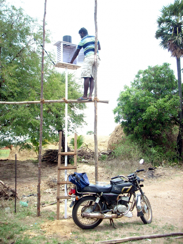
Landscape Assesment of the Kalivali Basin
Objectives
This project set out to utilise open source tools for landscape assessments for water resources management and as a method for evaluating the common guidelines for watershed management in India.
Its objecives were:
a) To develop protocols for carrying out landscape assessments in the Kalivelli wetland complex using ecological and surface hydrology models.
b) To compare the relevant modules of GRASS against modules of windows based commercial software such as IDRISI and ArcView.
c) To develop land-use and land-cover classifiers for South East Coastal India (Kalivelli region) based on IRS P-6 data and calibrate these classes against phosphate, nitrogen and sediment loading.
d) To collate and evaluate various sources of secondary spatial data (maps) available from Govt. agencies, private agencies and research institutions.
Status
This project set out to utilise tools for landscape assessments as a method for evaluating the common guidelines for watershed management in India. As a result two publications in peer reviewed journals and two thesis - one PhD and a MSc, were produced. The project has resulted in collaborations with other scientists and institutions involved in the study of ecosystem services, particularly hydrologic services.
FERAL - once wild, runs wild again.